The FarmTree Platform
The FarmTree Platform is a software model + online interface created to design agroforestry scenarios, and project their impact on carbon, financial, and environmental indicators.
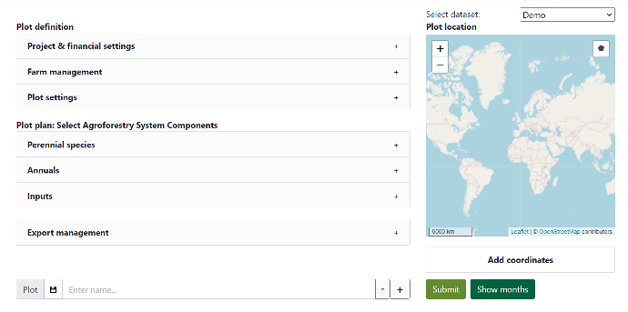
The Platform combines site-specific farm, climate, soil and species data into a plot scenario, and generates up to 50 years of projections.
Try out the FarmTree Platform Demo (FREE) and see by yourself how it can support your landscape restoration objectives!
FarmTree Model Indicators
+90 key performance indicators from 3 impact areas directly linking to SGD goals
Carbon
- Biomass accumulation
- Carbon stock
- Carbon Removal Units (CRUs)
- Carbon revenue by species

Production & Finance
- Yields
- Production costs and revenues
- Cash-flows
- Profitability
- Labour needs
Environment
- Water balance
- Soil organic matter
- Nutrient flows
- Erosion
- Biodiversity
The FarmTree Platformkit

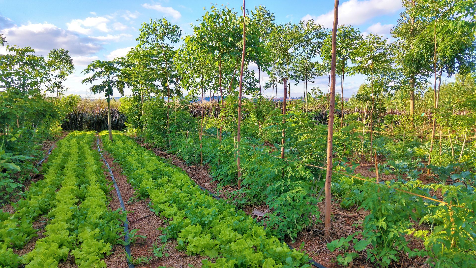
An Agroforestry Model
The FarmTree Model is composed of interconnected sub-models which simulate the dynamics of an agricultural system. These include soil, nutrients, water, plant growth, production, carbon, labour and finance.
Several datasets are combined (user data, local climate and soil data, and species characteristics) to generate the desired plot projections indicators.
Want to learn more about the model calculations?
Download the FarmTree Model Methodology
Our Landscape Tool
We aggregate plot projections from different scenarios into a landscape-level impact assessment.
The landscape model allows to compare the performance of Business-as-Usual (BAU) versus alternative scenarios (such as agroforestry) to estimate total Project Impact.
Interested in the Landscape Tool?
Contact us!
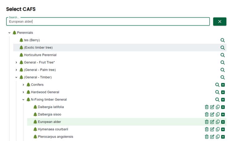
CAFS Database
The FarmTree model is linked to our in-house database of Components of Agricultural Systems (CAFS), where +900 species and inputs with relevance in agroforestry are defined. This includes perennial and annual species, their biophysical and labour input characteristics. And prices of their different products.
This online database captures both scientific and local knowledge. Agroforestry experts can capture their expertise about species such as planting distances, desired pruning, and re-use it in any new design they make. Or make the management options available to project partners' designs.
Interested in calibrating the FarmTree Tool with your field data?